SWFL Local · The Stable
The Best Motorcycle Rides in Southwest Florida: Loop Road, Tamiami Trail, Pine Island, and More
There are no mountains. There is a 24-mile road through a cypress swamp, a causeway you will pull over on, and a hundred miles of two-lane that nobody photographs.
By The Outpost CrewUpdated 7 min read
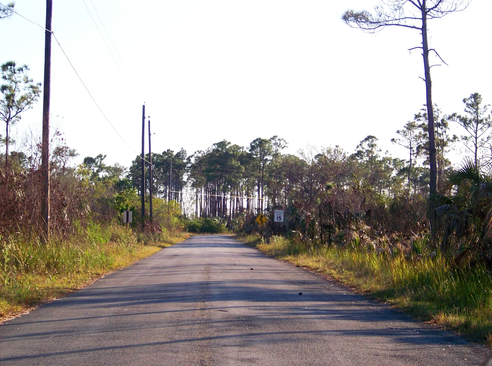
Ask the crew and the answer comes quick: the best motorcycle ride in Southwest Florida is the Tamiami Trail east through Big Cypress to Everglades City, roughly 55 miles each way of sawgrass and canal bank. That is the signature run. The rest of this list is why you will not stop there.
Southwest Florida gets written off by riders who moved here from somewhere with elevation. That is a mistake made by people who have only ridden I-75.
The riding here is not about corners. It is about a two-lane road with sawgrass to the horizon, a bird the size of a mailbox lifting off the shoulder, and the fact that you can do it in January in a mesh jacket. Once you accept that trade, there are eight or nine good rides inside two hours of Bonita Springs, and most of them are empty on a weekday morning.
All distances below are approximate one-way road mileage unless noted, and the two figures published by the National Park Service are labelled as such.
The Everglades runs
The best riding in the region is east and south, on the roads that cross Big Cypress National Preserve. Fuel is scarce out there and cell coverage is patchy. Fill up before you leave the coast.
Tamiami Trail to Everglades City and Chokoloskee
Roughly 55 miles each way from Bonita Springs. US-41 east, through Naples, then the long straight run across the preserve. This is the signature ride and the one to do first.
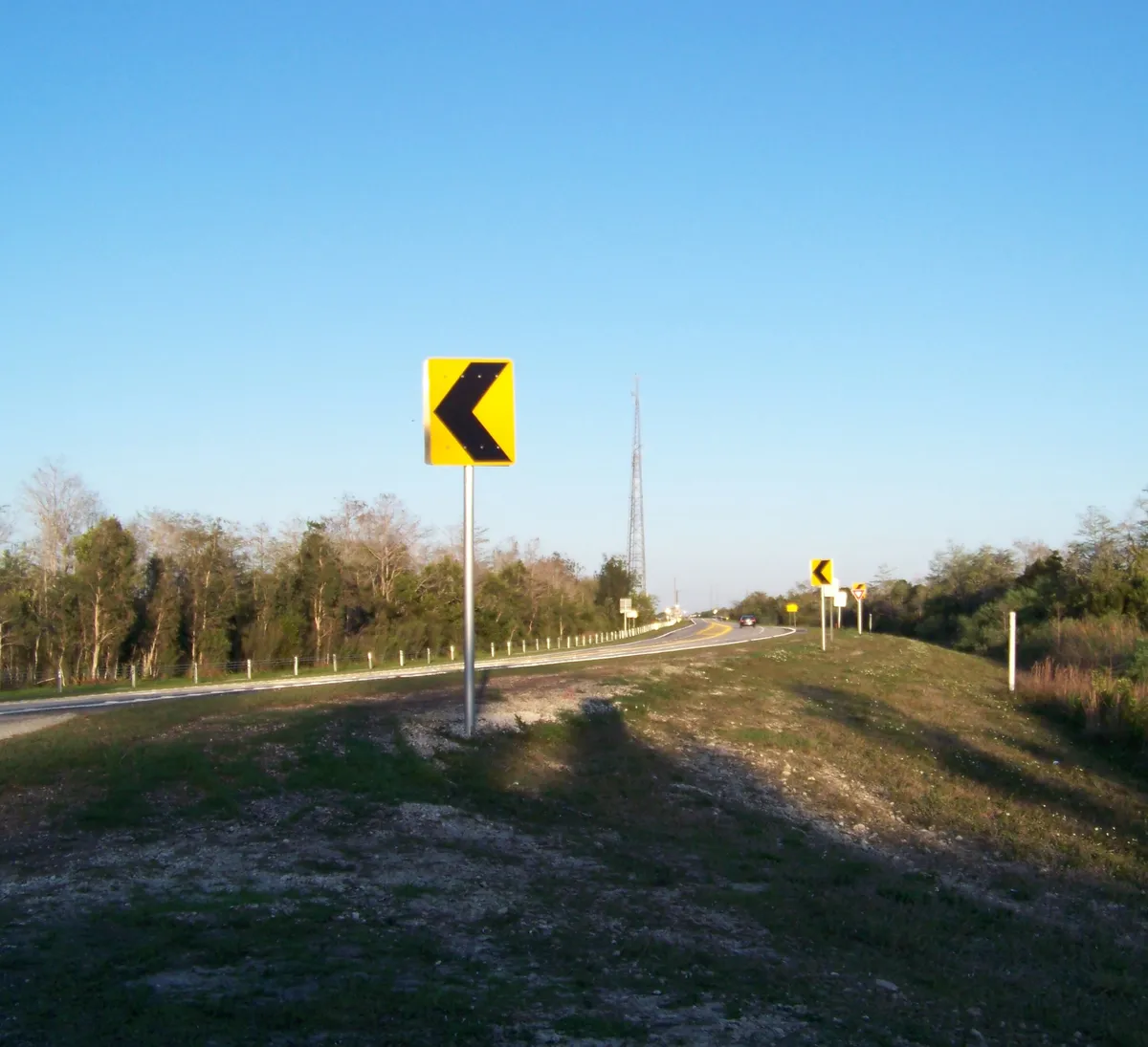
The road is arrow-straight for long stretches, in good repair, and lined by canal on one side for miles — which is where the wildlife is. Alligators sun on the bank in the dry months in numbers that stop being remarkable by the third one. Turn south on SR 29 for Everglades City and the causeway on to Chokoloskee, which is about as far into the mangroves as pavement goes.
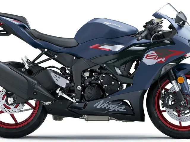
Suits: anything road-legal. This is a cruiser and sport-tourer ride first, and comfortable on a beginner bike — the Kawasaki Eliminator or a Rebel would be perfectly happy. Watch for: crosswinds where the tree line breaks, and standing water on the shoulder after summer rain.
Loop Road, Big Cypress
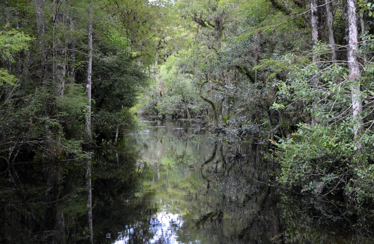
24 miles, per the National Park Service, running through Collier, Monroe, and Miami-Dade counties. It leaves US-41 and rejoins it, and it is the most atmospheric piece of road in this half of the state — genuine cypress swamp, close enough on both sides to feel like a tunnel.
Two honest cautions. NPS describes the habitat as “mostly cypress swamp habitat, which are flooded forests in the summer wet season,” and that wet season runs May through October — water levels change what the road is. And the preserve does not publish a surface rating for it. Get current word from the preserve’s visitor centers on US-41 before you commit a street bike, and if you cannot, treat Loop Road as a dual-sport proposition rather than a sportbike one.
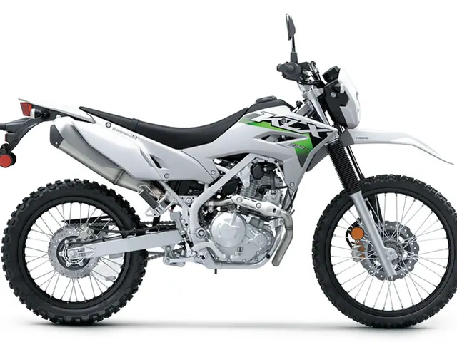
Suits: adventure and dual-sport machines — this is the ride that justifies a Ténéré 700 or a KLX230 in a state with no hills. Skip if: you are on a low-slung cruiser and the water is up.
Turner River, Wagonwheel, and Birdon Roads
A 17-mile loop, per NPS, north of US-41 near Ochopee. Open wet prairie rather than swamp, and NPS calls out wading-bird feeding areas along it: “Shining waters, flurries of wings, and sunning alligators are all things you may experience.”
It is a shorter and less committing version of the Loop Road experience and it pairs naturally with the Everglades City run as a morning’s detour. Same surface caution applies.
The island runs
Shorter, prettier, more traffic, and better for a half day.
Sanibel and Captiva
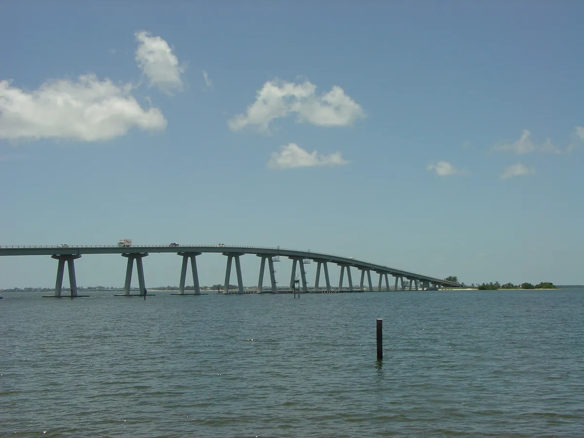
About 25 miles from Bonita Springs to the causeway, then roughly 20 more to the north end of Captiva. The causeway itself is the reason to go — three low bridges with water on both sides and pull-offs where people actually stop.
Sanibel-Captiva Road is a slow island road with heavy bicycle traffic and a serious enforcement reputation. Ride it as a sightseeing lane, not a road. The crossing is tolled through Lee County’s LeeWay system, so bring a way to pay. Conditions and access on the barrier islands have changed repeatedly in recent years, so check before you plan a long day around it.
Suits: anything. Best at: first light, before the island wakes up.
Matlacha and Pine Island
Roughly 45 miles from Bonita Springs. Pine Island Road west out of Cape Coral, across the drawbridge into Matlacha, then out the length of Pine Island to Bokeelia at the north end or St. James City at the south.
Matlacha is a quarter-mile of brightly painted fishing shacks and galleries on a bridge, and it is genuinely worth the stop. Beyond it, Pine Island is flat, quiet, agricultural, and about as un-Florida-coast as the coast gets. The road out and back totals maybe 20 miles of island riding.
Suits: a relaxed morning on anything. Watch for: the drawbridge, which opens on schedule and will hold you.
Punta Gorda to Boca Grande
About 55 miles north from Bonita Springs to Punta Gorda, then roughly 30 miles southwest to Gasparilla Island. The run down CR 771 and CR 775 through Placida is two-lane, lightly trafficked, and steadily prettier as you go.
Boca Grande itself is a slow, banyan-shaded village with a 20 mph feel. The island is reached by a causeway crossing — check current tolls and payment options before you go. Punta Gorda’s waterfront is a reasonable turnaround if you want to shorten the day.
The inland runs
Nobody photographs these. They are the best weekday riding in the region.
Corkscrew Road and the Immokalee back roads
Corkscrew Road runs about 20 miles east from Estero, and Immokalee Road (CR 846) runs roughly 35 miles from Naples out to Immokalee. Between them is farm country: sod fields, citrus, cattle, and long empty two-lane with actual curves in it near the Corkscrew Swamp Sanctuary.
This is the closest thing to a back-road loop that starts within 15 minutes of the dealership. Traffic is light outside of harvest hours, the pavement is generally good, and the sightlines are enormous.
Watch for: agricultural traffic, sand tracked onto the road at field entrances, and unlit stretches after dark.
SR 80 and SR 78 along the Caloosahatchee
About 30 miles from Fort Myers east to LaBelle on SR 80, with SR 78 running the north bank back west through Alva.
This is the river ride. Oaks, old Florida houses, and a road that follows the water instead of a survey line, which is rare here. LaBelle is a proper small town and a natural lunch stop; the loop back on the opposite bank makes it a proper half-day at roughly 70 miles round trip.
Suits: a comfortable bike with some range. This is a good Rebel 1100 DCT ride.
When to ride
| Period | What it is like | What to do about it |
|---|---|---|
| November–April | Dry season. Cool mornings, low humidity, the reason people move here | Ride everything. This is peak season for the Everglades runs |
| May and September | Lovebug season. Two annual hatches coat everything | Eye protection, a clean visor, and wash the bike before the residue sets |
| May–October | Wet season. Afternoon storms build most days; NPS notes the Big Cypress swamp floods in these months | Start at sunrise, be home by two. Check conditions before Loop Road |
| June 1–November 30 | Hurricane season, with the statistical peak around September 10 per NOAA | Watch the forecast on any ride that takes you far from home |
| July–August | Heat. Asphalt temperatures make stop-and-go miserable | Early mornings only, mesh gear, more water than you think |
Before you go
- Fuel at the coast. There are long gaps on US-41 east of Naples and on the Immokalee roads. Range planning matters more here than in any city.
- Eye protection, always. Florida requires an eye-protective device for every motorcycle operator, with no age or insurance exception — § 316.211, Fla. Stat. (2026). The helmet rules and the over-21 exception are in our helmet law guide.
- No lane splitting. “No person shall operate a motorcycle between lanes of traffic or between adjacent lines or rows of vehicles” — § 316.209, Fla. Stat. (2026). Two abreast in one lane is fine; filtering is not.
- Water, and then more water. Dehydration arrives before you notice it here. The gear and hydration playbook is in riding in Florida heat and rain.
- Tolls for the islands. The Sanibel crossing is tolled through Lee County’s LeeWay system; check current tolls for the Boca Grande causeway before you go.
- Wildlife is a real hazard. Alligators cross roads. So do hogs, deer, and the occasional Florida panther in the preserve. Ride the Everglades roads in daylight.
- Tell someone the route. Cell coverage is unreliable in Big Cypress and thin on the Immokalee back roads.
If you have not got the endorsement yet, that is step one — the Florida motorcycle endorsement guide has the course, the fees, and the deadline that catches people. If you are still choosing the bike, the beginner buyer’s guide covers what is on the floor, and the rest of the street coverage lives in The Stable.
28470 S Tamiami Trail, Bonita Springs — right at the start of the Everglades run.
Quick answers
- What is the best motorcycle ride in Southwest Florida?
- The Tamiami Trail east from Bonita Springs into Big Cypress and down to Everglades City — roughly 55 miles each way, sawgrass and cypress the whole distance, with the option to add the 24-mile Loop Road if your bike suits unpaved surfaces.
- How long is Loop Road in Big Cypress?
- The National Park Service lists Loop Road at 24 miles, running through Collier, Monroe, and Miami-Dade counties. NPS describes the habitat as mostly cypress swamp that floods during the May-to-October wet season, so conditions vary sharply by time of year.
- When is the best time of year to ride a motorcycle in Southwest Florida?
- November through April. Dry season means lower humidity, fewer afternoon storms, and comfortable morning temperatures. Summer riding works if you start early — the storms usually build mid-afternoon and hurricane season runs June 1 to November 30.
- Can you ride a motorcycle to Sanibel or Boca Grande?
- Yes. Both islands are reached by causeway. The Sanibel crossing is tolled through Lee County's LeeWay system, and you should check current tolls for the Boca Grande causeway before you go. Sanibel-Captiva Road runs about 20 miles from the causeway to the north end of Captiva; Gasparilla Island is reached from the mainland south of Placida.
- Do you need a special license for the Everglades roads?
- No. Loop Road, the Tamiami Trail, and the Turner River area roads are public roads, so a Florida motorcycle endorsement and a road-legal machine is all that is required. Off-road riding inside the preserve is a separate permit system and is not what these routes are.